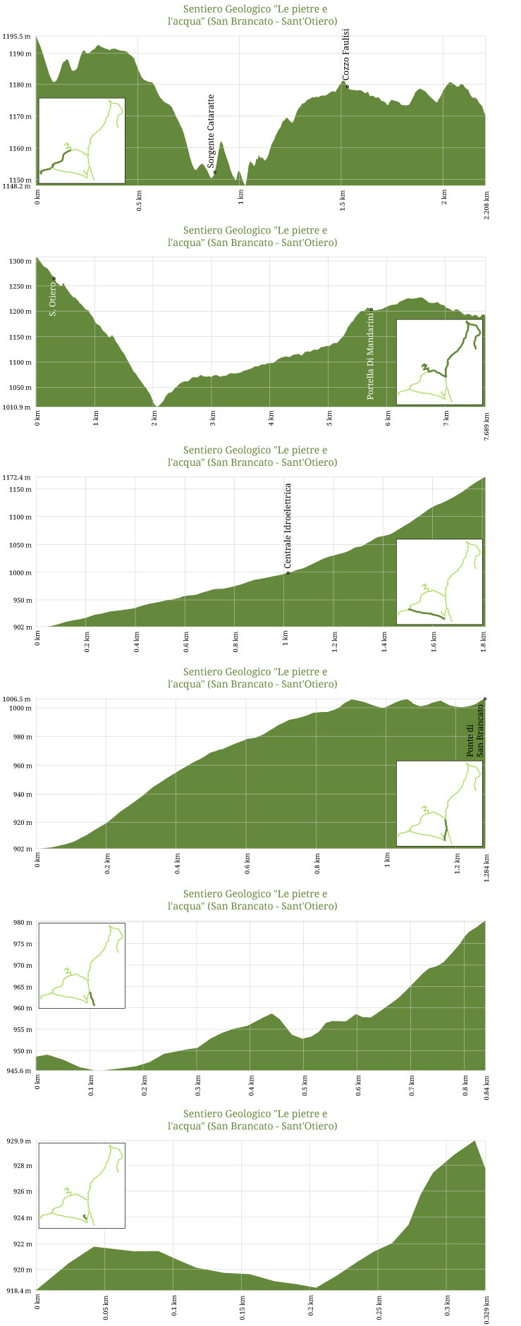
G6 - Sentiero Geologico "Le pietre e l'acqua" (San Brancato - Sant'Otiero)


G6 - Sentiero Geologico "Le pietre e l'acqua" (San Brancato - Sant'Otiero)
"Stones and water" is one of the itineraries created to offer the visitors to the Geopark a quality service. A Geopark is a site with great geological interesting features in a territory environment supported by a E.U. programme favouring its development. The geological trails set into the borders of the Madonie Park, have a fundamental importance which gives the opportunity of either a general or a detailed knowledge of the Madonie area in which the Geopark lies. The whole itinerary is divided into three routes or walks.Two of these walks are situated in the municipal town area of Castellana Sicula and the third one is inside the area of Petralia Sottana.
The particularity of these routes, realised also in anthropic zones, is that they link in a natural way naturalistic and geological aspects together with the testimony of man. The itinerary "Stones and water" has also another originality; it results from an idea shared with students and teachers of the Comprehensive Institute of Petralia Sottana in collaboration with the GEA association. In fact, the base model of the itinerary was outlined during the teaching labs of the environmental education project "Water that flows, water for life", performed in the centre of environmental education "The land of our forefathers" in the school year 2003-2004.
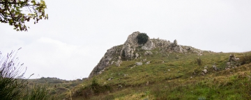
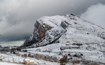
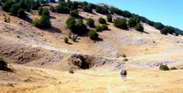
Using the Regia Trazzera of Petralia-Castelbuono transhumance, after around 30 minutes you will reach Ponte San Brancato, an humpback Romanesque bridge, which was used to cross the Mandarini creek. Arrived in Pizzo S. Otiero you can see remains of columns; here, in fact there was the "Lumachella" stone quarry from where the twelve monolithic columns of Petralia Sottana Cathedral Church were obtained. The trail continues until it reaches the Catarratti sourc , one of north-central Sicily's most important ones and later the eponymous hydroelectric plant, still working, magnificent expression of the early twentieth century "industrial archeology".
This stretch runs from San Brancato to Sant'Otiero in Petralia Sottana territory.


- Trekking shoes