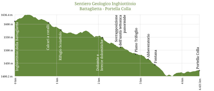
G4 - Sentiero Geologico "Inghiottitoio Battaglietta - Portella Colla"

G4 - Sentiero Geologico "Inghiottitoio Battaglietta - Portella Colla"
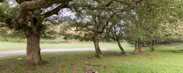
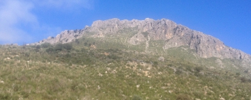
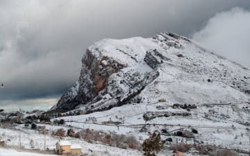
This trail allows you to observe karst landforms of the carbonate clusters, which make up the Piano Battaglia mountainous area reliefs. The sinkhole is a must stop where it is possible to experience the characterising theme of the surrounding landscape. Heading towards Rifugio Marini you can view one of the most important site in the whole area, the Jurassic coral bioherm outcrop still intact. Moving towards the SP54 road you can observe sponges and other fossils of the Triassic carbonate deposits. Continuing you get into a dense forest, where there will be a breathtaking view of the Quacella impressive amphitheater with its isolated spires, a Gothic cathedral carved into the rock. The entire route becomes an open-air laboratory where you can study and question the area geological evolution, so much examined and full of scientific ideas.


- Trekking shoes
- Windbreaker


_563_-_Sentiero_Portella_Mandarini.jpg)