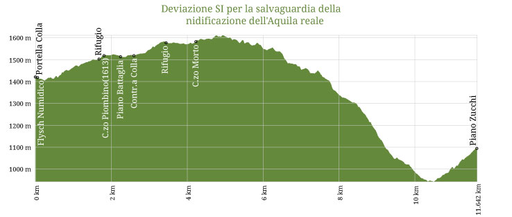
561 - 566b - Deviazione SI per la salvaguardia della nidificazione dell'Aquila reale
561 - 566b - Deviazione SI per la salvaguardia della nidificazione dell'Aquila reale
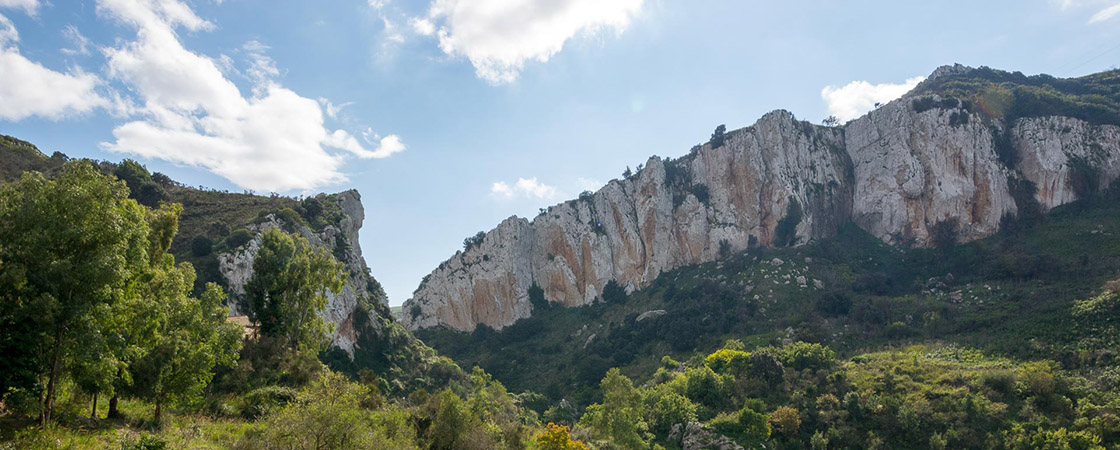
This path is a variant of the "Sentiero Italia" to be used in the period from May to October to protect golden eagle nesting sites that are found along the S.I. trail stretch from Scillato to "Casa Mastro Peppino".
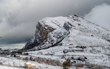
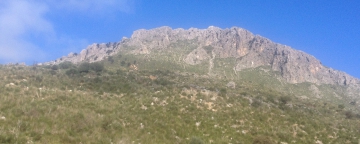
The trail winds through central Madonie high peaks, starting from the intersection of the SP54 and SP119 (Portella Colla) and winds between Cozzo Piombino (1613 meters above sea level), "Lago Colla" (1676 meters above sea level), Pizzo Antenna (1696 meters asl), "Monte dei Cervi" (1792 meters) and then continues north toward the "Luigi Orestano" shelter in Piano Zucchi.
This trail largely overlaps the trail: 561- Sentiero Portella Colla - Case Disiceddi (Piano Cervi)
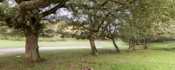
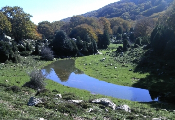
The trail climbs along Piano Cervi, a large and open fluvial karst depression, which has a small glacial lake in the middle, created by the thawing snow. Continuing, you can enjoy views of Mount dei Cervi until you reach Casa di Mastro Peppino. Here the path forks. Continuing along the trail Italia, you go into the Vallone Nipitalva marked by a quite challenging stretch and suitable for experienced hikers due to a consistent drop. Here the beech forest takes the place of the prairie pasture, where it forms a complex and lush beech area. These components give this location a typical aspect of the high mountains, whose stimulating and complex landscapes are the most evocative that the Park has to offer its visitors. This stretch is not viable in the months from May to October to preserve the Golden Eagle nesting sites. In this case, moving north from Casa di Mastro Peppino you follow the trail "566b - Deviazione SI per la salvaguardia della nidificazione Aquila reale" to reach the shelter "Luigi Oristano" in Piano Zucchi.


_563_-_Sentiero_Portella_Mandarini.jpg)