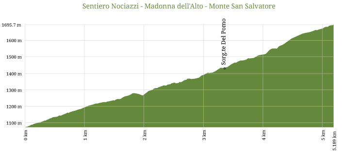
553 - Sentiero Nociazzi - Madonna dell'Alto - Monte San Salvatore
553 - Sentiero Nociazzi - Madonna dell'Alto - Monte San Salvatore
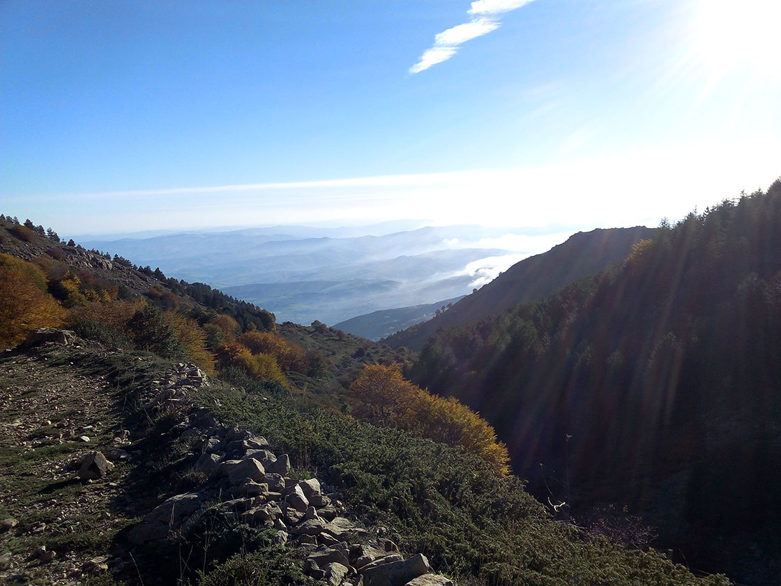
This magnificent, albeit challenging hike begins from Nociazzi township, nearby Castellana Sicula. Continuing beyond the village for a few hundred meters, on your right you will come across the carriageway leading to the Sanctuary. Climbing up along Pomo slopes and immediately gaining altitude, the trail offers large views over the valley of the South Imera river, alternating to areas surrounded by Mediterranean vegetation.
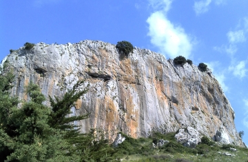
Crossing Portella Maruggi at 1204 meters above sea level, visitors can continue the steep uphill trail between the Rocche del Pomo (1,469 meters above sea level) on the left and Rocca Vaccaro (1428 meters above sea level) on the right. Continuing the climb, the vegetation thins out but presents on its repaired slopes the first Beechs, Euphorbias, Brooms, the pear trees and orchids. Over 1,200 meters of elevation visitors can meet the first "pulvini di Astragalus", kind of thorny pillows that only grow in some specific conditions and give shelters to other plants.
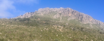
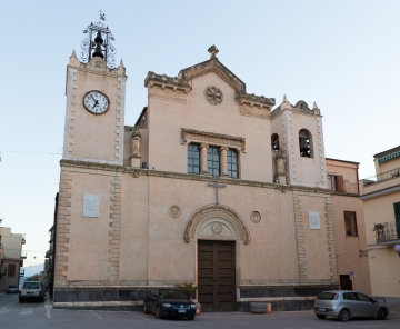
Once beyond the southern slopes of Monte Alto, where there is the Sanctuary, you will get to a lush clearing: in front of the glade is located the Mount San Salvatore, while on the left is located the trail that descends to the valley Madonna degli Angeli and on the right the path that leads to the Santuario della Madonna dell'Alto at 1819 meters above sea level.
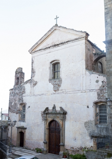
Reached the fifteenth century sacred building, visitors will enjoy the landscape vastness that opens to 360 degrees, in a succession of valleys, hills, rivers and mountains. You will be able to see in the distance the Mount Etna, the Imera valley, the highest peaks in the Agrigento area and the rugged elevations that overhang right in front of the Sanctuary.